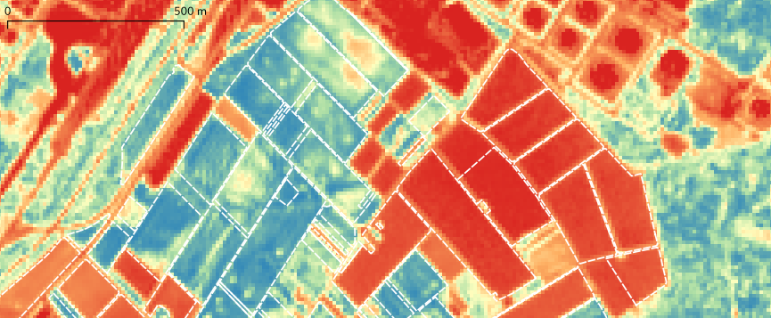
The results of the AgriCOpen use case are available at our geodata service geoserver.gwdg.de and is described here on the GDI-BW Metadataportal
Category: Uncategorized
An interactive model for the analysis of air quality simulations
As part of the Particulate Matter Forecast Service, a model was developed to facilitate the access to results of the WRF simulations. A 3D visualisation for air quality in the greater area of Stuttgart was created using the software Vistle. This allows an interactive exploration of the model along with other data sets. Users can navigate through the virtual world and switch between various modes to examine multiple data sets simultaneously. This enables a combination of simulation data with geo data and thus establishes points of reference for users. Moreover, it allows the comparison of multiple components such as the concentration of nitrogen oxide and particulate matter.
The following video gives insights into this model and demonstrates its application in virtual reality environments.
FOSSGIS 2020 talk
The FOSSGIS 2020 Conference is currently held at Freiburg and the talk Offene Smart Farming Produkte aus offenen Satellitendaten (Open smart farming products based on open satellite data) was recorded and the video is already online. The presentation is also availailable online.
Open Forecast presentation at FOSSGIS conference 2020
We are happy to announce that our presentation at the FOSSGIS conference is accepted: https://www.fossgis-konferenz.de/2020/sessions/PHJ8VG.php We will present the latest results of our project with focus on the AgriCOpen use case.
Satellite data for agriculture
In the journal Landinfo, issue 5/2019, an article was published (in German) about satellite data. Other articles focus the topic digitization in agriculture.
Landinfo Issue 5/2019, article: Satellitendaten für die Landwirtschaft – Digitalisierung als Trend (PDF)


